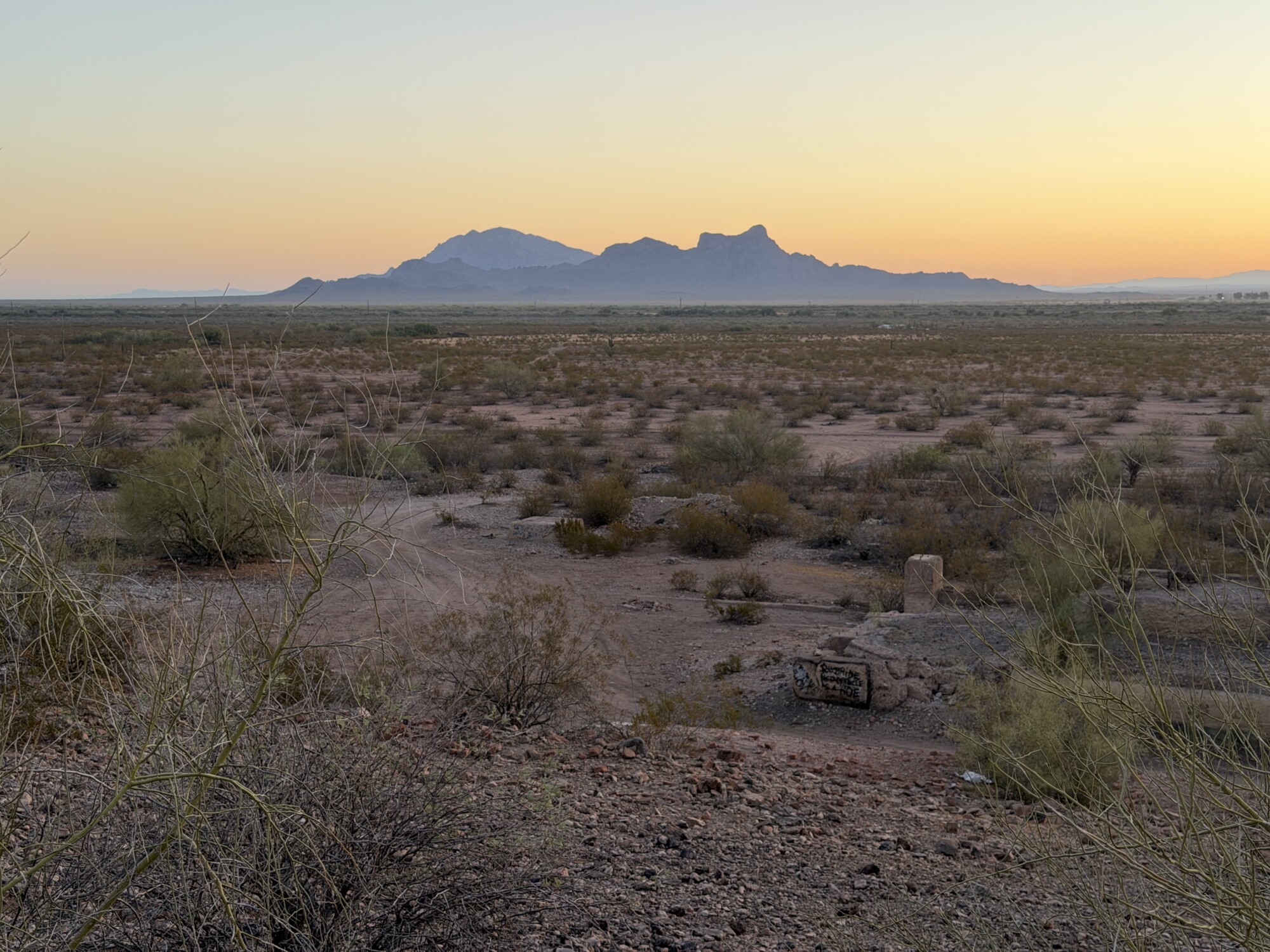
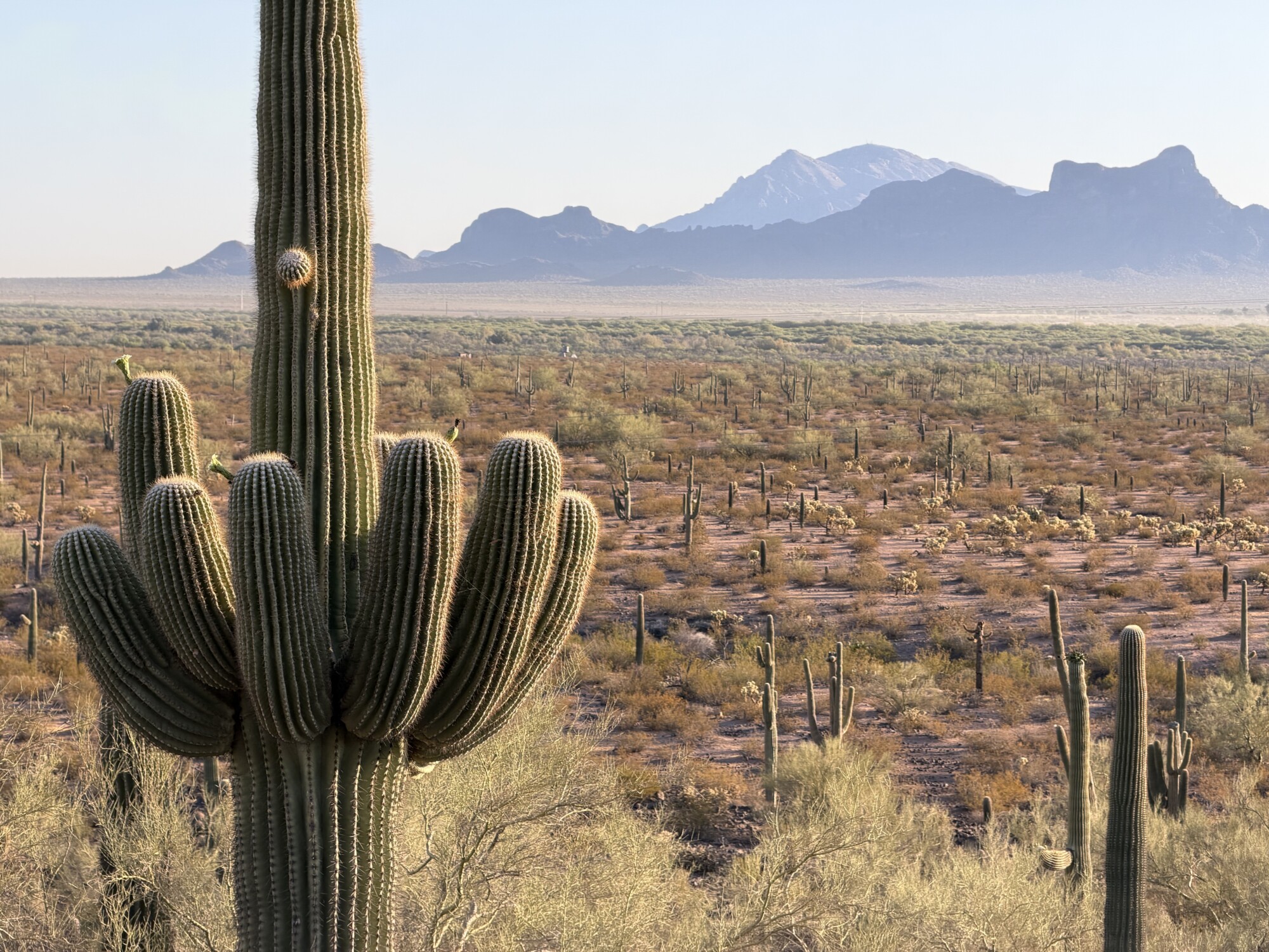
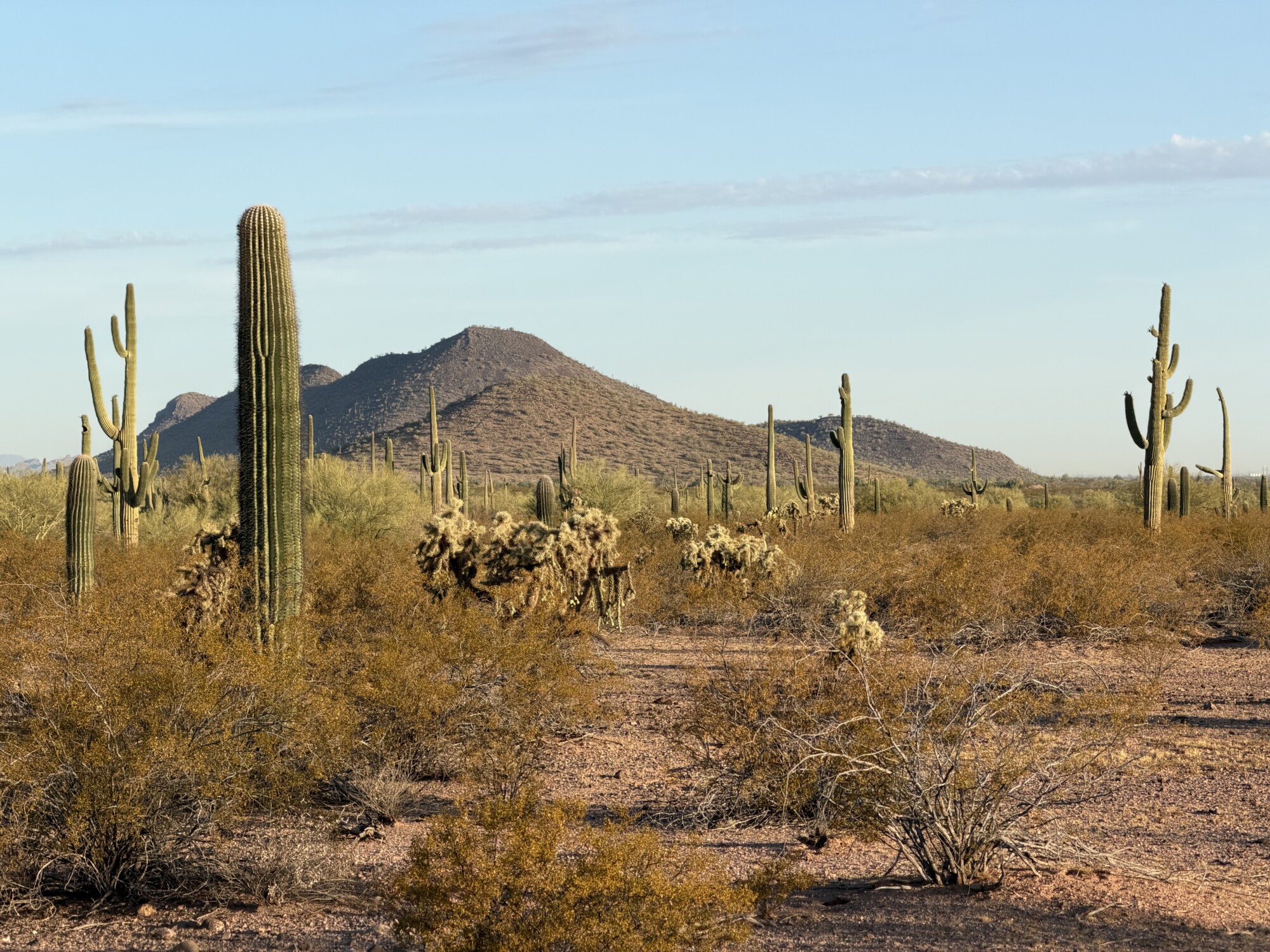
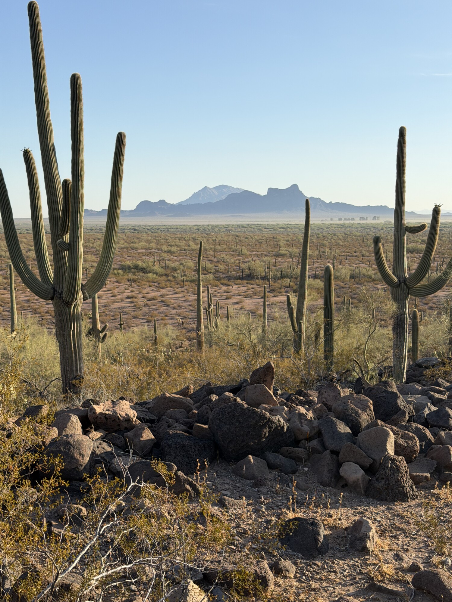
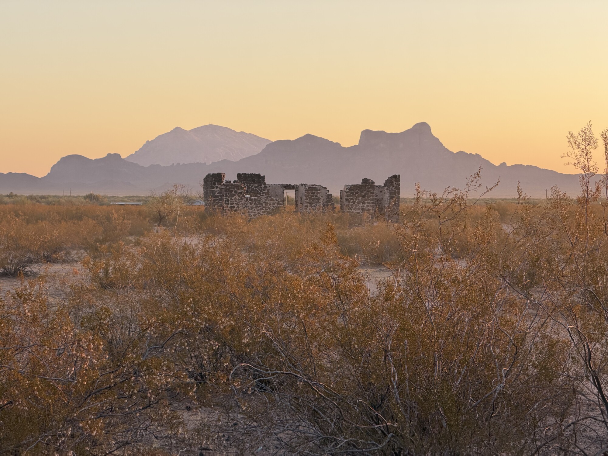
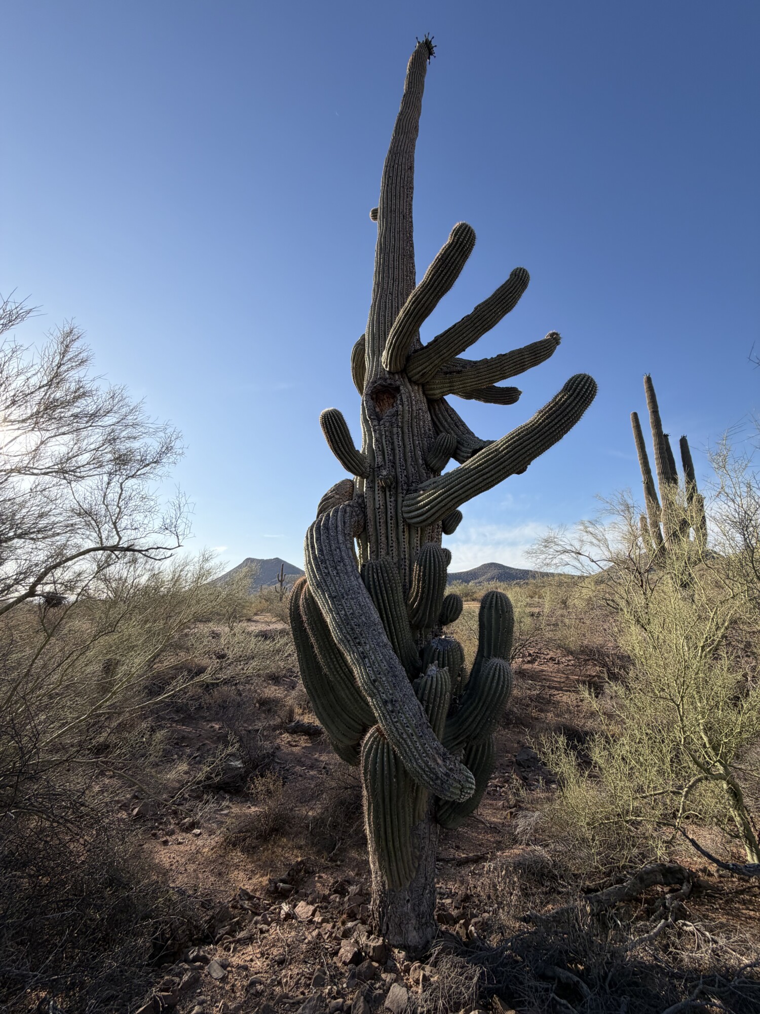
While maps and planning documents tell part of the story, they cannot fully capture the landscape’s scale, beauty, and ecological and cultural importance. Walking the site offered a clearer sense of what is at stake as Pinal County considers one of the largest proposed industrial developments in Arizona.
The proposed La Osa Data Center project borders Ironwood Forest National Monument and overlaps the Ironwood–Picacho wildlife linkage, an important wildlife corridor. This landscape contains many natural, historic, and cultural resources, including the nearby Sasco ruins, Greene Wash, Cerro Prieto’s archaeological terraces and petroglyphs, and the remains of early ranching settlements.
For a closer look, check out “The Proposed La Osa Data Center Site: An Aerial View” by photographer and journalist Eirini Pajak, published in Pinal Post.