
Our programs
Our work is delivered across two complementary program areas.
Land use planning
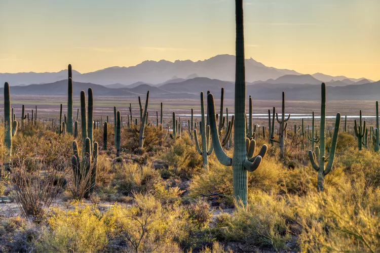
Our land use planning program defends the Sonoran Desert from short-sighted development by promoting responsible growth, including on State Land, protecting corridors and habitats, and advancing tools like conservation easements, open space bonds, and habitat plans.
For this work, we use or input on planning tools such as:
Landscape connectivity
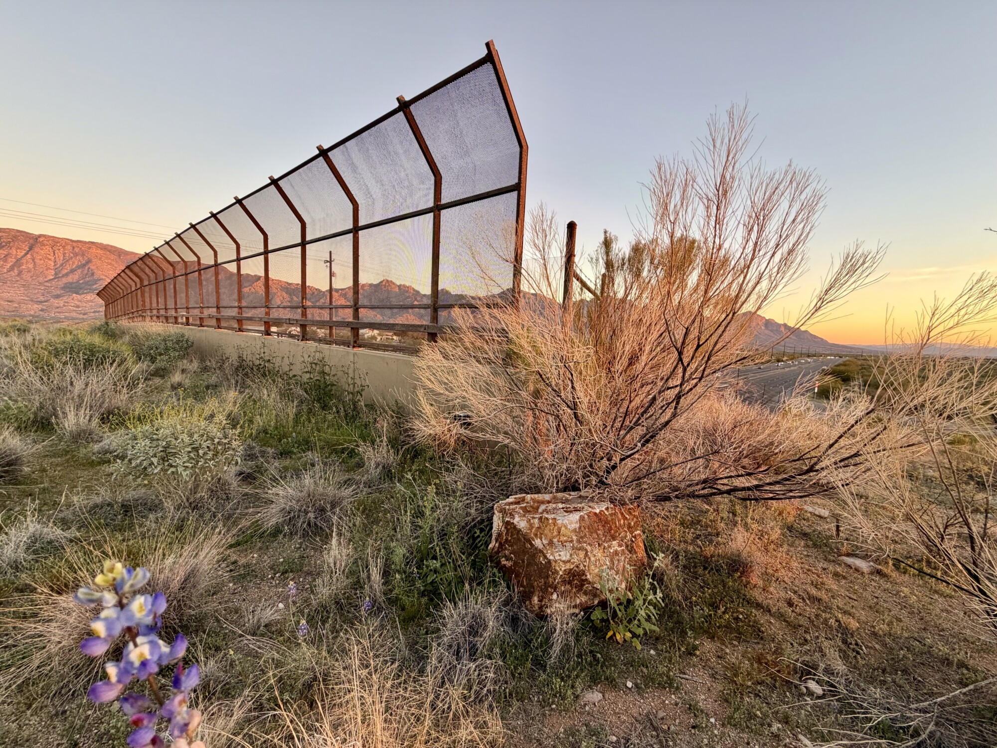
Our landscape connectivity program works to reconnect habitats with tools such as wildlife crossings, barrier removal, and environmentally sensitive transportation planning.
With community science, field stewardship, and coalition building, we advance projects that ensure safe passage and restore ecosystem health.
Learn more about this work:
Project areas
Our highest priority project areas represent some of the most critical wildlife linkages in Southern Arizona, as defined by Pima County’s Sonoran Desert Conservation Plan and other leading research.
While our work extends beyond these areas, you’ll hear us reference these areas often.

Tucson Mountains
The Tucson Mountains rise west of the city of Tucson, and are the Coalition’s highest-priority project area. Without protections, these mountains could be entirely isolated from the surrounding landscape within the next 20 to 30 years due to development.
To keep the Tucson-Tortolita-Santa Catalina Mountains Wildlife Linkage alive, we collect wildlife camera data, conduct roadkill surveys, watchdog development, and advocate for wildlife crossings.
Featured projects
Avra Valley
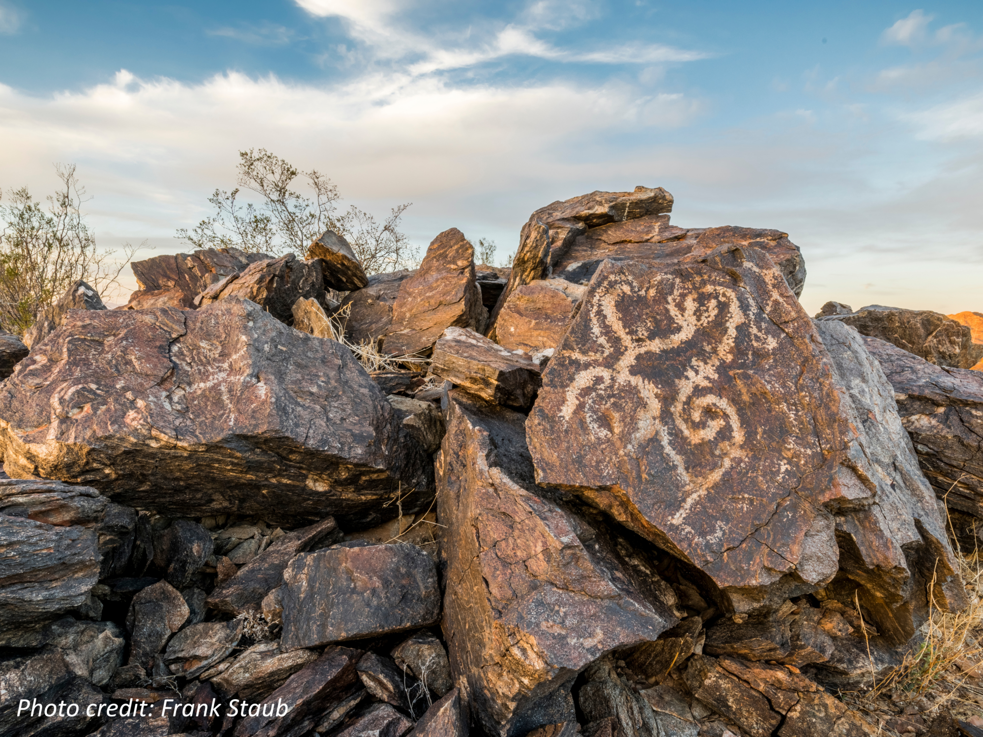
Avra Valley connects multiple protected habitats west of Tucson, including the Silverbell, Waterman and Roskruge Mountains, Tohono O’odham Nation lands, Ironwood Forest National Monument, Tucson Mountain Park and Saguaro National Park, Brawley Wash, and the Tucson Mitigation Corridor. It is divided by the CAP canal and is a major source of Tucson’s groundwater supply.
The area’s ecological viability is threatened by increasing development pressure and the proposed Interstate 11.
Featured projects
Catalina Mountains
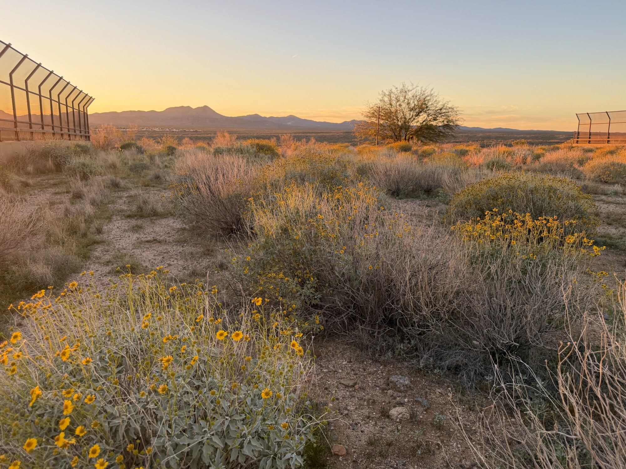
The Tucson-Tortolita-Santa Catalina Mountains Wildlife Linkage is one of Arizona’s most important wildlife corridors, connecting the Sky Islands through areas including Big Wash and Honey Bee Canyon.
This linkage is the site of the first wildlife bridge in the Sonoran Desert, as well as other successful wildlife crossings we helped to make a reality. These structures enable wildlife to cross Oracle Road safely. We continue to monitor these crossings and work to protect the surrounding open space.
Featured projects
Las Cienegas
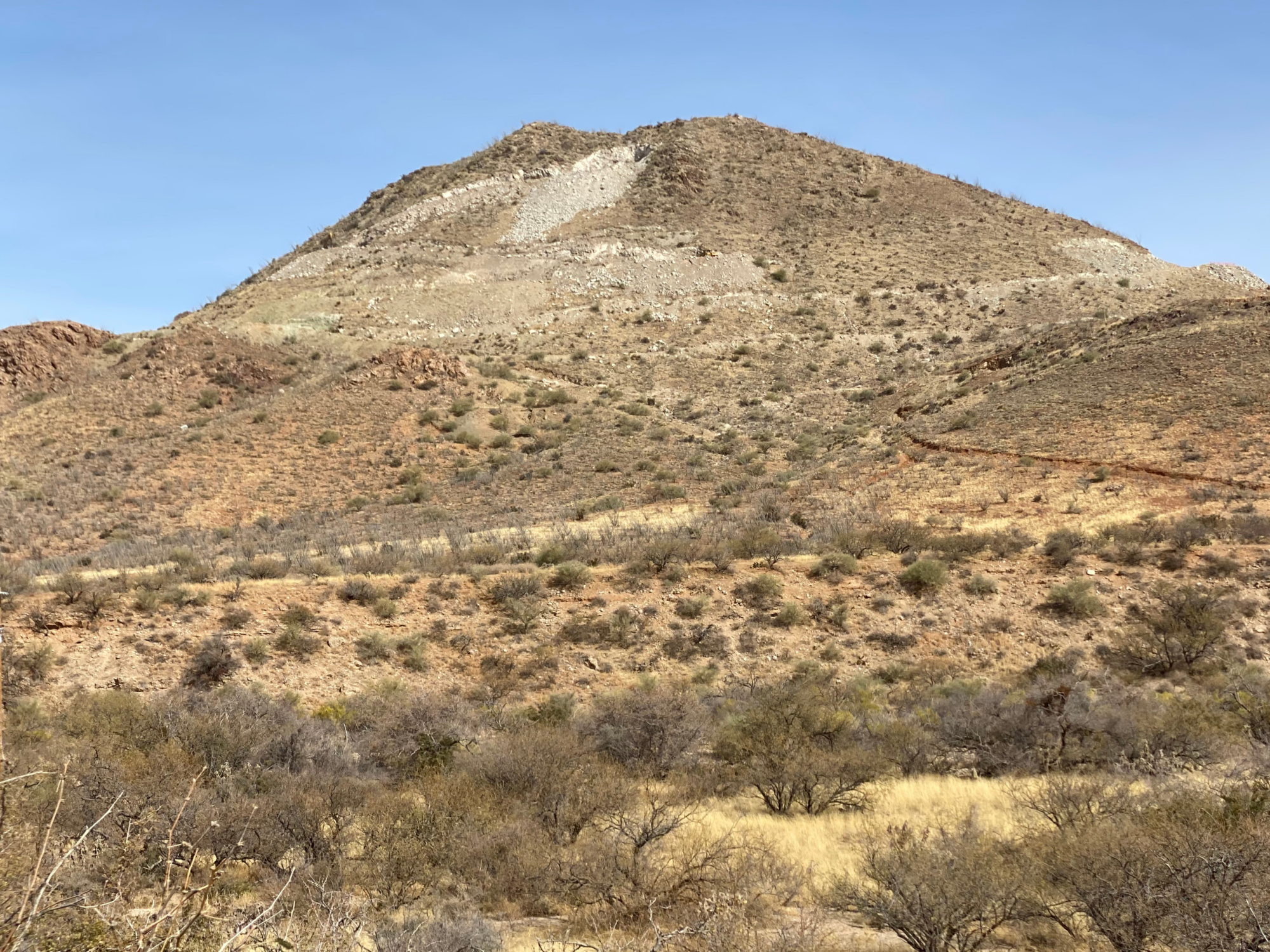
The Rincon-Santa Rita-Whetstone Mountains Wildlife Linkage is one of the few remaining north-south wildlife corridors across I-10. Home to Davidson Canyon, Las Cienegas National Conservation Area, and Cienega Creek Preserve, this landscape provides critical habitat for black bears and jaguars.
While some crossings exist, further mitigation and adding wildlife funnel fencing are a high priority.
Featured projects
Sopori Creek
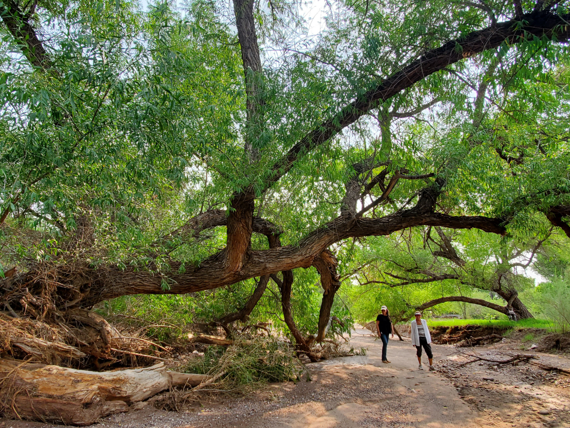
South of Tucson, the Sopori Creek landscape connects numerous linkages to the Santa Rita, Cerro Colorado, and Atascosa Mountains. The creek’s rare year-round water source supports species such as jaguar, ocelot, and yellow-billed cuckoo. We work with partners to advance needed improvements, including culvert retrofits and funnel fencing to help wildlife safely navigate I-19.
Partners in this work include the Arizona Land and Water Trust and Pima County.
Featured project
Ajo Highway
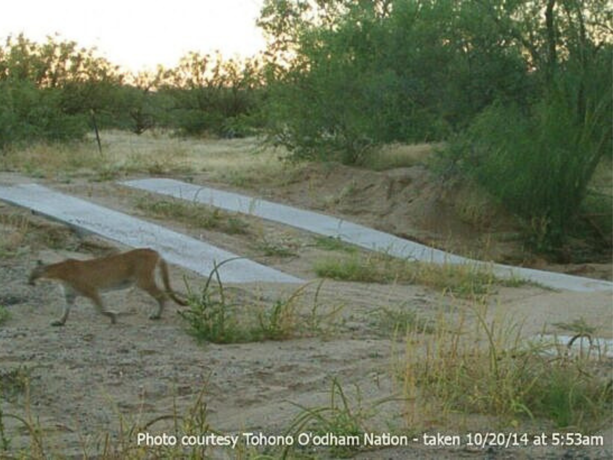
Kitt Peak Wildlife Linkage — The Ajo corridor is a key wildlife movement area spanning the Tohono O’odham Nation and the surrounding desert landscapes. Two wildlife underpasses on State Route 86 reconnect habitat for species such as bighorn sheep, jaguars, and mule deer.
The Tohono O’odham Nation leads wildlife connectivity efforts in the region, while the Coalition supports maintenance of existing crossings and advocates for new ones.
Featured project
Our comment letters and reports

The Coalition for Sonoran Desert Protection is the leading watchdog organization for development in Pima County.
Explore our comment letters, newsletters, and reports that track the latest conservation issues in the Sonoran Desert.